Artificial intelligence may have taken off in the 21st century, but it can also be applied to historical records. One of the better-known such uses in the energy industry is its application to organization and analysis of historic well data to improve decision-making today.
But it is not all about the numbers. AI can also help with visual material, notably maps, sifting through material and recognizing locations and patterns it would take humans months to analyse.
One innovative use highlighted in recently published research is the deployment of AI to scour old maps of the US land surface and other sources to search for clues to the location of long-forgotten oil and gas wells among the estimated 3.7m wells drilled across the US since the industry took off in the 1850s.
This is not an academic exercise – it is part of a programme initiated by th US Department of Energy (DOE), known as CATALOG, to identify so-called undocumented orphan wells (UOWs) in order that those not plugged to a high standard first time can be properly secured if methane is escaping into the atmosphere or there is a risk of oil, brine and chemicals entering the water supply.
The new research was carried out by a team at Berkeley Lab, using maps covering parts of California and Oklahoma. Berkeley Lab is managed by the University of California for the DOE.
Their model was trained to detect oil and gas well symbols in georeferenced historical topographic maps, with potential UOWs identified as those with symbols that were further than 100 metres from any documented well. A custom tool was developed to rapidly validate those potential UOW locations.
Applying this technique to four counties in California and Oklahoma led to the discovery of 1,301 potential UOWs across more than 40,000 km2. Data from satellite images was then used to confirm the presence of 29 UOWs, with a further 15 UOWs being identified using magnetic surveys in the field.
The researchers say their framework can be scaled to identify potential UOWs across the US, given similar historical maps are available for the entire nation, at an affordable cost.
Fabio Ciulla, a postdoctoral fellow at Berkeley Lab told the organisation’s website that maximising success required a multi-layered approach.
“I can give my contribution with historical maps, someone else can do computations for historical oil production, others bring images or satellites or sensor data. It’s a beautiful mix of the old and the new, and I’m fascinated that maps – something that seems so old-fashioned and static – can give us so much useful information if correctly used with the help of current technology,” he said.
There is more work to be done. Assessing just how much methane or other substances are leaking from old wells using sophisticated methane sensors is expensive. The CATALOG programme is now working on tools to more affordably detect emissions and then reduce those emissions and other hazards from undocumented orphaned wells.
Other methods that could be used to identify lost wells include the use of planes with LIDAR laser systems to make images of the earth’s surface, and the use of thermal cameras to highlight leaks.
Further AI uses in mapping
The energy industry has also put the ability of AI to rapidly pull information from maps to good use in other areas. For example, in April 2024, the Future Digital Twin news site reported on the development of an AI driven tool, backed by the International Energy Agency (IEA), that to identify electricity access patterns in Africa based on satellite maps to help infrastructure planners and energy suppliers target their efforts more efficiently.
Meanwhile, earlier in 2024, the Environmental Defense Fund said a project using data from its satellite MethaneSAT would call on Google’s AI and infrastructure mapping capabilities to measure methane emissions over time and trace them back to oil and gas infrastructure, such as wells.
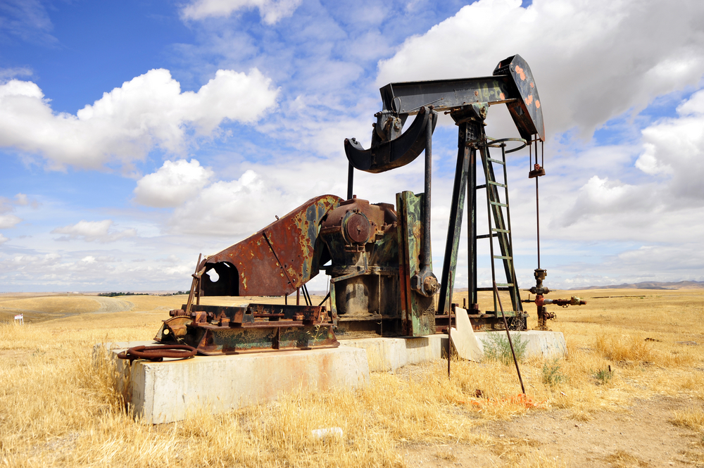
(Photo: Abandoned oil well pumping unit in California/Shutterstock)